
EPW040696 ENGLAND (1932). Lindisfarne Castle, Holy Island, 1932

© Copyright OpenStreetMap contributors and licensed by the OpenStreetMap Foundation. 2026. Cartography is licensed as CC BY-SA.
Nearby Images (19)
EPW040696

EAW008896

EAW008899

EAW008900

EAW008897

EAW034341

EAW008898

EAW008050

EAW034340

EAW019694

EAW019695

EAW006102

EAW019696

EAW006100

EAW019697

EAW006098

EAW006099

EAW006101

EPW040695

Details
| Title | [EPW040696] Lindisfarne Castle, Holy Island, 1932 |
| Reference | EPW040696 |
| Date | October-1932 |
| Link | |
| Place name | HOLY ISLAND |
| Parish | HOLY ISLAND |
| District | |
| Country | ENGLAND |
| Easting / Northing | 413623, 641770 |
| Longitude / Latitude | -1.7833948993183, 55.669251475917 |
| National Grid Reference | NU136418 |
Pins
User Comment Contributions
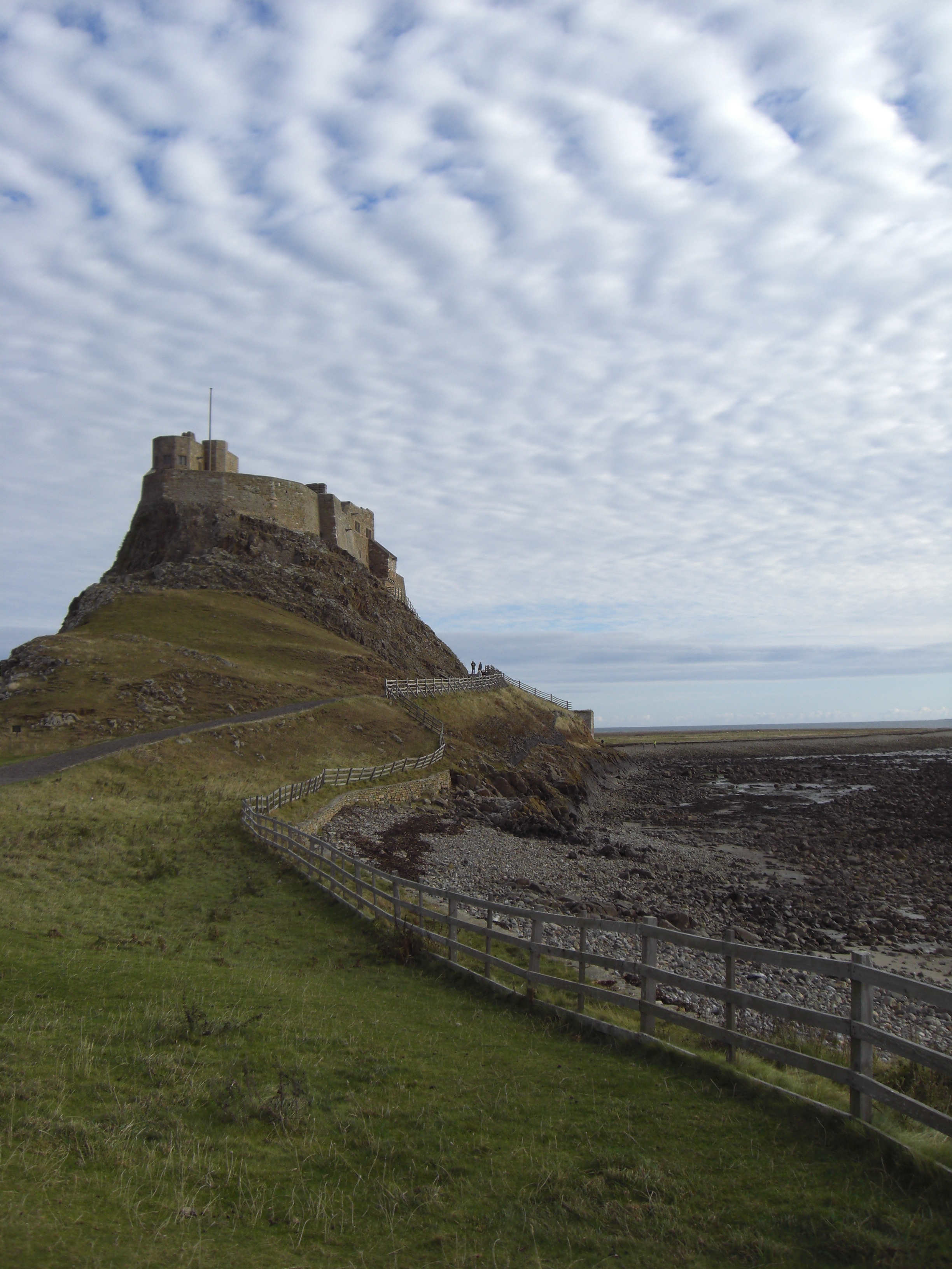
Now a National Trust property. The attached photo was taken in October 2007. |

melgibbs |
Thursday 27th of June 2013 06:49:08 PM |