
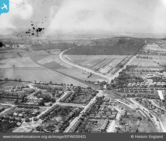
EPW038421 ENGLAND (1932). New housing site alongside Welling Way, Oxleas Wood and Bellegrove Road, Welling, from the east, 1932. This image has been produced from a damaged negative.
© Copyright OpenStreetMap contributors and licensed by the OpenStreetMap Foundation. 2026. Cartography is licensed as CC BY-SA.
Nearby Images (9)
EPW038421

EPW038209

EPW038190

EPW038208

EPW038423

EPW038419

EPW038191

EPW038186

EPW038418

Details
| Title | [EPW038421] New housing site alongside Welling Way, Oxleas Wood and Bellegrove Road, Welling, from the east, 1932. This image has been produced from a damaged negative. |
| Reference | EPW038421 |
| Date | 14-June-1932 |
| Link | |
| Place name | WELLING |
| Parish | |
| District | |
| Country | ENGLAND |
| Easting / Northing | 545907, 175910 |
| Longitude / Latitude | 0.10061945817416, 51.462842192878 |
| National Grid Reference | TQ459759 |
Pins

Steve Camp |
Tuesday 10th of September 2019 12:21:16 PM | |
|
Steve Camp |
Tuesday 10th of September 2019 12:20:20 PM |