
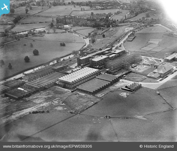
EPW038306 ENGLAND (1932). Fry's Somerdale Factory, Somerdale, 1932
© Copyright OpenStreetMap contributors and licensed by the OpenStreetMap Foundation. 2026. Cartography is licensed as CC BY-SA.
Nearby Images (9)
EPW038306

EAW002264
 Somerdale Factory, Somerdale, 1946")
EAW002268
 Somerdale Factory, Somerdale, 1946")
EPW038305

EPW022274

EAW002267
 Somerdale Factory, Somerdale, 1946")
EAW002266
 Somerdale Factory, Somerdale, 1946")
EPW016949

EAW002265
 Somerdale Factory, Somerdale, 1946")
Details
| Title | [EPW038306] Fry's Somerdale Factory, Somerdale, 1932 |
| Reference | EPW038306 |
| Date | June-1932 |
| Link | |
| Place name | SOMERDALE |
| Parish | KEYNSHAM |
| District | |
| Country | ENGLAND |
| Easting / Northing | 365837, 169522 |
| Longitude / Latitude | -2.4913948503686, 51.423185116423 |
| National Grid Reference | ST658695 |
Pins

ozgwr |
Monday 12th of December 2016 10:39:56 PM | |
|
ozgwr |
Monday 12th of December 2016 10:37:43 PM | |
|
ozgwr |
Monday 12th of December 2016 10:34:07 PM | |
|
ozgwr |
Monday 12th of December 2016 10:34:03 PM | |
|
allenb1 |
Wednesday 23rd of December 2015 04:46:51 PM | |
|
allenb1 |
Wednesday 23rd of December 2015 04:44:28 PM | |
|
allenb1 |
Wednesday 23rd of December 2015 04:34:54 PM | |
|
allenb1 |
Wednesday 23rd of December 2015 04:33:20 PM | |
|
allenb1 |
Wednesday 23rd of December 2015 04:32:05 PM | |

Class31 |
Friday 28th of February 2014 11:14:12 PM |