
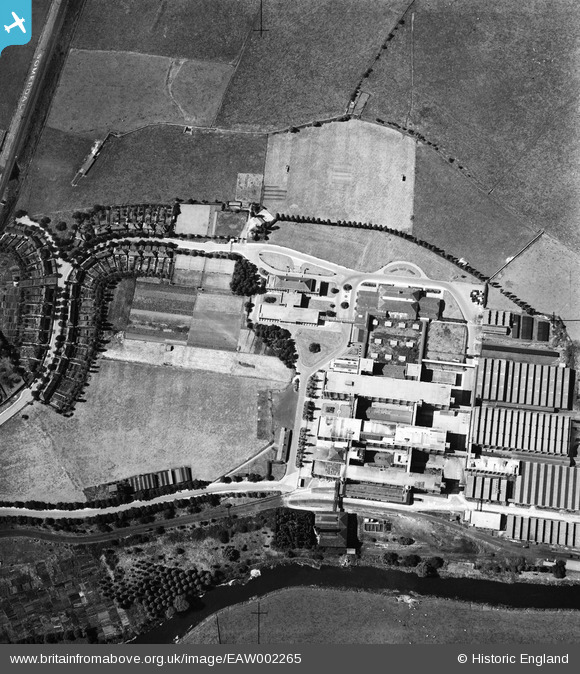
EAW002265 ENGLAND (1946). Fry's (Cadbury's) Somerdale Factory, Somerdale, 1946
© Copyright OpenStreetMap contributors and licensed by the OpenStreetMap Foundation. 2026. Cartography is licensed as CC BY-SA.
Nearby Images (3)
EAW002265
 Somerdale Factory, Somerdale, 1946")
EAW002266
 Somerdale Factory, Somerdale, 1946")
EPW038306

Details
| Title | [EAW002265] Fry's (Cadbury's) Somerdale Factory, Somerdale, 1946 |
| Reference | EAW002265 |
| Date | 18-August-1946 |
| Link | |
| Place name | SOMERDALE |
| Parish | KEYNSHAM |
| District | |
| Country | ENGLAND |
| Easting / Northing | 365604, 169354 |
| Longitude / Latitude | -2.4947298376982, 51.421660315319 |
| National Grid Reference | ST656694 |
