
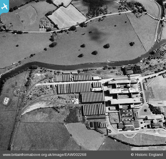
EAW002268 ENGLAND (1946). Fry's (Cadbury's) Somerdale Factory, Somerdale, 1946
© Copyright OpenStreetMap contributors and licensed by the OpenStreetMap Foundation. 2026. Cartography is licensed as CC BY-SA.
Nearby Images (8)
EAW002268
 Somerdale Factory, Somerdale, 1946")
EAW002264
 Somerdale Factory, Somerdale, 1946")
EAW002267
 Somerdale Factory, Somerdale, 1946")
EPW038306

EPW022274

EPW016949

EPW038305

EAW002266
 Somerdale Factory, Somerdale, 1946")
Details
| Title | [EAW002268] Fry's (Cadbury's) Somerdale Factory, Somerdale, 1946 |
| Reference | EAW002268 |
| Date | 18-August-1946 |
| Link | |
| Place name | SOMERDALE |
| Parish | KEYNSHAM |
| District | |
| Country | ENGLAND |
| Easting / Northing | 365924, 169511 |
| Longitude / Latitude | -2.4901424481324, 51.423091440016 |
| National Grid Reference | ST659695 |
