
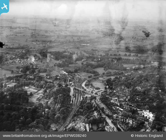
EPW038240 ENGLAND (1932). The area around Sevenoaks Railway Station, Sevenoaks, from the south-east, 1932
© Copyright OpenStreetMap contributors and licensed by the OpenStreetMap Foundation. 2025. Cartography is licensed as CC BY-SA.
Nearby Images (5)
EPW038240

EPW001428

EPW038242

EPW038237

EPW038239

Details
| Title | [EPW038240] The area around Sevenoaks Railway Station, Sevenoaks, from the south-east, 1932 |
| Reference | EPW038240 |
| Date | June-1932 |
| Link | |
| Place name | SEVENOAKS |
| Parish | SEVENOAKS |
| District | |
| Country | ENGLAND |
| Easting / Northing | 552288, 155377 |
| Longitude / Latitude | 0.18361769792794, 51.276648547977 |
| National Grid Reference | TQ523554 |
Pins
Be the first to add a comment to this image!