
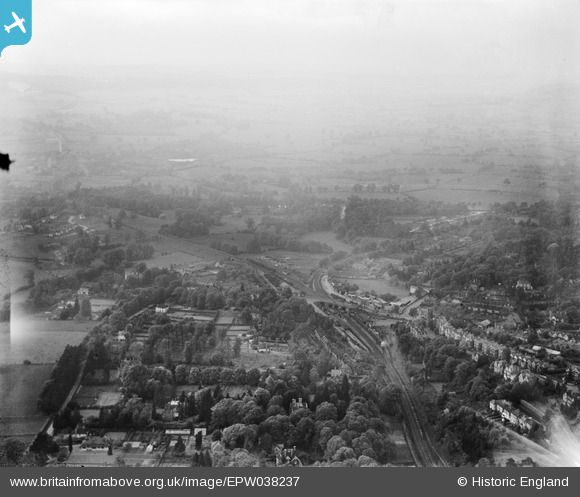
EPW038237 ENGLAND (1932). The area around Sevenoaks Railway Station, Sevenoaks, from the south, 1932
© Copyright OpenStreetMap contributors and licensed by the OpenStreetMap Foundation. 2025. Cartography is licensed as CC BY-SA.
Nearby Images (5)
EPW038237

EPW038239

EPW038242

EPW001428

EPW038240

Details
| Title | [EPW038237] The area around Sevenoaks Railway Station, Sevenoaks, from the south, 1932 |
| Reference | EPW038237 |
| Date | June-1932 |
| Link | |
| Place name | SEVENOAKS |
| Parish | SEVENOAKS |
| District | |
| Country | ENGLAND |
| Easting / Northing | 552169, 155315 |
| Longitude / Latitude | 0.181886311899, 51.276123195084 |
| National Grid Reference | TQ522553 |
Pins
Be the first to add a comment to this image!