
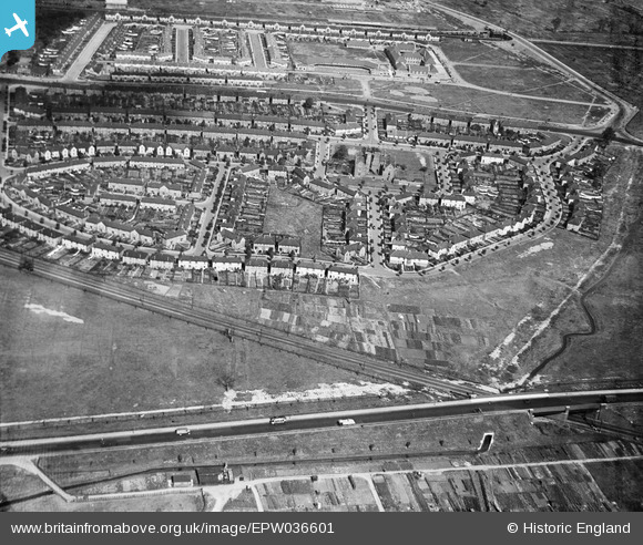
EPW036601 ENGLAND (1931). Eastbury Manor House and environs, Barking, 1931
© Copyright OpenStreetMap contributors and licensed by the OpenStreetMap Foundation. 2025. Cartography is licensed as CC BY-SA.
Nearby Images (5)
EPW036601

EPW006563

EPW006560

EPW006561

EPW006562

Details
| Title | [EPW036601] Eastbury Manor House and environs, Barking, 1931 |
| Reference | EPW036601 |
| Date | September-1931 |
| Link | |
| Place name | BARKING |
| Parish | |
| District | |
| Country | ENGLAND |
| Easting / Northing | 545679, 183650 |
| Longitude / Latitude | 0.10053549860299, 51.532456219386 |
| National Grid Reference | TQ457837 |
Pins

Chelsea61 |
Monday 5th of December 2016 05:52:32 PM |