
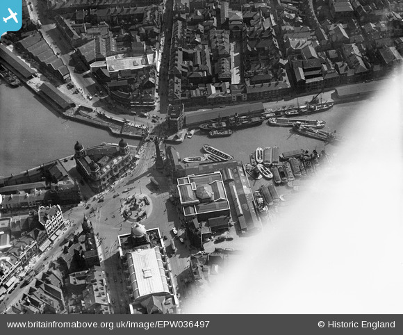
EPW036497 ENGLAND (1931). Whitefriargate Bridge and Queen Victoria Square, Kingston upon Hull, 1931
© Copyright OpenStreetMap contributors and licensed by the OpenStreetMap Foundation. 2026. Cartography is licensed as CC BY-SA.
Nearby Images (10)
EPW036497

EPW036496

EPW036495

EPW012805

EPW010788

EPW012693

EPW012697

EPW010789

EAW015657

EAW046134

Details
| Title | [EPW036497] Whitefriargate Bridge and Queen Victoria Square, Kingston upon Hull, 1931 |
| Reference | EPW036497 |
| Date | August-1931 |
| Link | |
| Place name | KINGSTON UPON HULL |
| Parish | |
| District | |
| Country | ENGLAND |
| Easting / Northing | 509661, 428706 |
| Longitude / Latitude | -0.33704728056569, 53.742961310062 |
| National Grid Reference | TA097287 |
Pins

John Wass |
Tuesday 29th of January 2019 11:51:25 AM | |
|
John Wass |
Friday 4th of August 2017 08:01:13 PM | |
|
John Wass |
Friday 4th of August 2017 07:59:41 PM | |
|
dfa1963 |
Sunday 19th of April 2015 03:34:11 PM | |
|
John Wass |
Sunday 22nd of June 2014 08:48:31 PM | |
|
John Wass |
Sunday 22nd of June 2014 08:44:44 PM | |
|
John Wass |
Sunday 22nd of June 2014 08:40:54 PM | |
|
John Wass |
Sunday 22nd of June 2014 08:37:02 PM |