
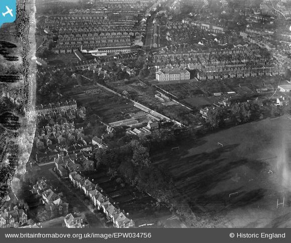
EPW034756 ENGLAND (1930). Orleans Park and surrounding housing, Twickenham, 1930. This image has been produced from a damaged negative.
© Copyright OpenStreetMap contributors and licensed by the OpenStreetMap Foundation. 2026. Cartography is licensed as CC BY-SA.
Nearby Images (9)
EPW034756

EPW034759

EPW034755

EPW034762

EPW034761

EPW034757

EPW034760

EPW034763

EPW034758

Details
| Title | [EPW034756] Orleans Park and surrounding housing, Twickenham, 1930. This image has been produced from a damaged negative. |
| Reference | EPW034756 |
| Date | 29-October-1930 |
| Link | |
| Place name | TWICKENHAM |
| Parish | |
| District | |
| Country | ENGLAND |
| Easting / Northing | 516716, 173775 |
| Longitude / Latitude | -0.32012883698564, 51.450425756046 |
| National Grid Reference | TQ167738 |
Pins

bumblee |
Sunday 30th of March 2014 04:46:21 PM |