
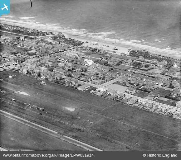
EPW031914 ENGLAND (1930). The town, Mablethorpe, 1930
© Copyright OpenStreetMap contributors and licensed by the OpenStreetMap Foundation. 2026. Cartography is licensed as CC BY-SA.
Nearby Images (6)
EPW031914

EPW031913

EPW031912

EPW031918

EPW031915

EPW031911

Details
| Title | [EPW031914] The town, Mablethorpe, 1930 |
| Reference | EPW031914 |
| Date | May-1930 |
| Link | |
| Place name | MABLETHORPE |
| Parish | MABLETHORPE AND SUTTON |
| District | |
| Country | ENGLAND |
| Easting / Northing | 550698, 385021 |
| Longitude / Latitude | 0.26374894480175, 53.340323604692 |
| National Grid Reference | TF507850 |
Pins
Be the first to add a comment to this image!