
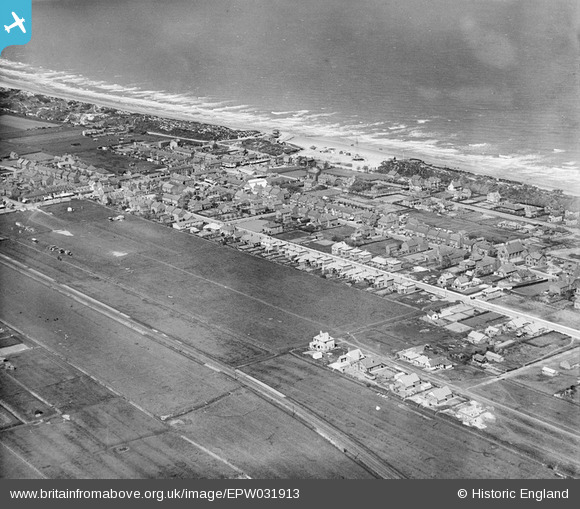
EPW031913 ENGLAND (1930). The town, Mablethorpe, 1930
© Copyright OpenStreetMap contributors and licensed by the OpenStreetMap Foundation. 2026. Cartography is licensed as CC BY-SA.
Nearby Images (4)
EPW031913

EPW031918

EPW031914

EPW031911

Details
| Title | [EPW031913] The town, Mablethorpe, 1930 |
| Reference | EPW031913 |
| Date | May-1930 |
| Link | |
| Place name | MABLETHORPE |
| Parish | MABLETHORPE AND SUTTON |
| District | |
| Country | ENGLAND |
| Easting / Northing | 550749, 384882 |
| Longitude / Latitude | 0.26444822172644, 53.339060482653 |
| National Grid Reference | TF507849 |
Pins
Be the first to add a comment to this image!