
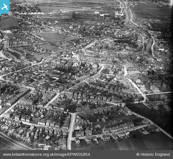
EPW031854 ENGLAND (1930). The town, Spalding, 1930
© Copyright OpenStreetMap contributors and licensed by the OpenStreetMap Foundation. 2026. Cartography is licensed as CC BY-SA.
Nearby Images (8)
EPW031854

EPW031855

EPW031882

EAW004499

EPW031856

EPW031870

EAW004498

EPW031852

Details
| Title | [EPW031854] The town, Spalding, 1930 |
| Reference | EPW031854 |
| Date | 7-May-1930 |
| Link | |
| Place name | SPALDING |
| Parish | |
| District | |
| Country | ENGLAND |
| Easting / Northing | 524542, 322518 |
| Longitude / Latitude | -0.15309609855967, 52.785515326772 |
| National Grid Reference | TF245225 |
Pins

Mikelwarb |
Wednesday 2nd of April 2014 09:48:02 AM | |
|
Mikelwarb |
Wednesday 2nd of April 2014 09:38:40 AM | |
|
Mikelwarb |
Wednesday 2nd of April 2014 09:36:32 AM | |
|
Mikelwarb |
Wednesday 2nd of April 2014 09:35:50 AM | |
|
Mikelwarb |
Wednesday 2nd of April 2014 09:34:50 AM |