
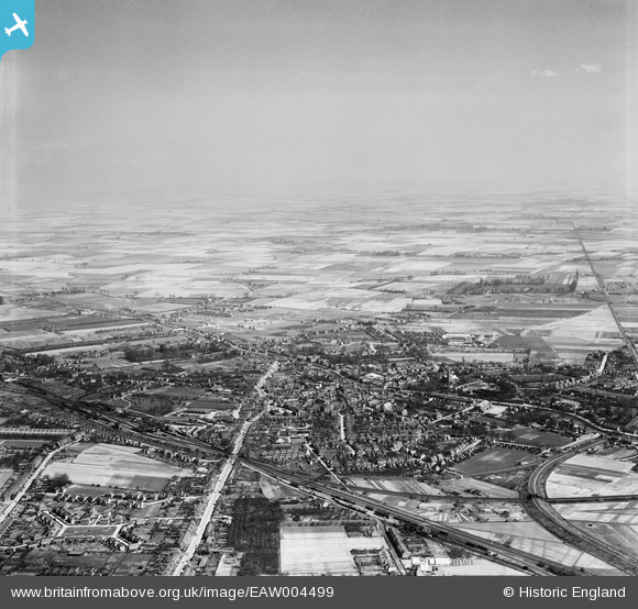
EAW004499 ENGLAND (1947). The town and surrounding fenland, Spalding, from the south-west, 1947
© Copyright OpenStreetMap contributors and licensed by the OpenStreetMap Foundation. 2026. Cartography is licensed as CC BY-SA.
Nearby Images (7)
EAW004499

EAW004498

EPW031854

EPW031855

EPW031882

EPW031856

EPW031870

Details
| Title | [EAW004499] The town and surrounding fenland, Spalding, from the south-west, 1947 |
| Reference | EAW004499 |
| Date | 16-April-1947 |
| Link | |
| Place name | SPALDING |
| Parish | |
| District | |
| Country | ENGLAND |
| Easting / Northing | 524410, 322457 |
| Longitude / Latitude | -0.1550756865448, 52.784997631731 |
| National Grid Reference | TF244225 |
Pins

Custom House Lad |
Thursday 19th of May 2016 10:18:24 PM | |
|
Mikelwarb |
Wednesday 2nd of April 2014 09:31:28 AM | |
|
Mikelwarb |
Wednesday 2nd of April 2014 09:26:12 AM | |
|
Mikelwarb |
Wednesday 2nd of April 2014 09:25:11 AM | |

bescotbeast |
Thursday 27th of February 2014 07:26:48 PM | |
|
bescotbeast |
Thursday 27th of February 2014 07:26:13 PM | |
|
bescotbeast |
Thursday 27th of February 2014 07:25:21 PM | |
|
bescotbeast |
Thursday 27th of February 2014 07:24:45 PM | |
|
bescotbeast |
Thursday 27th of February 2014 07:22:08 PM | |
|
bescotbeast |
Thursday 27th of February 2014 07:21:23 PM | |
|
bescotbeast |
Thursday 27th of February 2014 07:18:04 PM |