
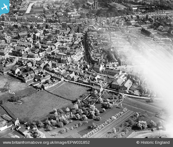
EPW031852 ENGLAND (1930). Hall Place, the Market Place and the town centre, Spalding, 1930
© Copyright OpenStreetMap contributors and licensed by the OpenStreetMap Foundation. 2026. Cartography is licensed as CC BY-SA.
Nearby Images (5)
EPW031852

EPW031870

EPW031856

EPW031882

EPW031854

Details
| Title | [EPW031852] Hall Place, the Market Place and the town centre, Spalding, 1930 |
| Reference | EPW031852 |
| Date | 7-May-1930 |
| Link | |
| Place name | SPALDING |
| Parish | |
| District | |
| Country | ENGLAND |
| Easting / Northing | 524644, 322736 |
| Longitude / Latitude | -0.15150129601126, 52.787450697373 |
| National Grid Reference | TF246227 |
Pins

Mikelwarb |
Thursday 3rd of July 2014 03:52:14 PM |