
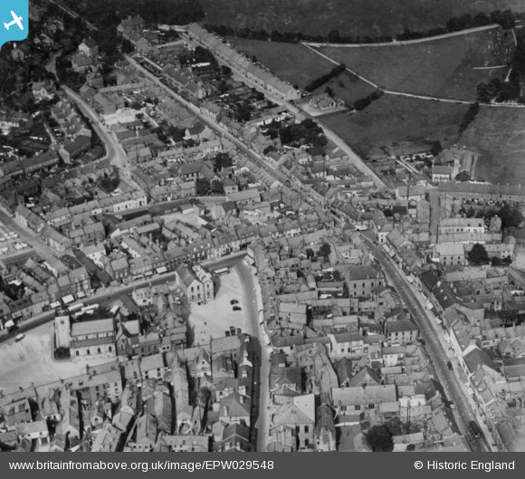
EPW029548 ENGLAND (1929). The town centre, Malton, 1929. This image has been produced from a copy-negative.
© Copyright OpenStreetMap contributors and licensed by the OpenStreetMap Foundation. 2026. Cartography is licensed as CC BY-SA.
Nearby Images (6)
EPW029548

EPW029547

EPW048559

EPW048560

EPW029544

EPW048546

Details
| Title | [EPW029548] The town centre, Malton, 1929. This image has been produced from a copy-negative. |
| Reference | EPW029548 |
| Date | September-1929 |
| Link | |
| Place name | MALTON |
| Parish | MALTON |
| District | |
| Country | ENGLAND |
| Easting / Northing | 478597, 471824 |
| Longitude / Latitude | -0.79688262186269, 54.136065100626 |
| National Grid Reference | SE786718 |
Pins

4wd |
Thursday 24th of March 2016 11:26:52 AM |