
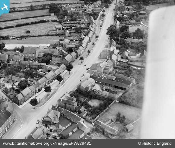
EPW029481 ENGLAND (1929). Long Street, Easingwold, 1929
© Copyright OpenStreetMap contributors and licensed by the OpenStreetMap Foundation. 2025. Cartography is licensed as CC BY-SA.
Nearby Images (5)
EPW029481

EPW029482

EPW029479

EPW029483

EPW029480

Details
| Title | [EPW029481] Long Street, Easingwold, 1929 |
| Reference | EPW029481 |
| Date | September-1929 |
| Link | |
| Place name | EASINGWOLD |
| Parish | EASINGWOLD |
| District | |
| Country | ENGLAND |
| Easting / Northing | 452823, 469594 |
| Longitude / Latitude | -1.1917523005043, 54.119318694656 |
| National Grid Reference | SE528696 |
Pins

John Wass |
Friday 3rd of July 2015 08:42:14 PM |