
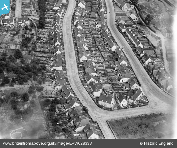
EPW028338 ENGLAND (1929). Green Walk and Crayford Way, Crayford, 1929
© Copyright OpenStreetMap contributors and licensed by the OpenStreetMap Foundation. 2026. Cartography is licensed as CC BY-SA.
Nearby Images (5)
EPW028338

EPW028339

EPR000354

EPW028340

EPW005652

Details
| Title | [EPW028338] Green Walk and Crayford Way, Crayford, 1929 |
| Reference | EPW028338 |
| Date | August-1929 |
| Link | |
| Place name | CRAYFORD |
| Parish | |
| District | |
| Country | ENGLAND |
| Easting / Northing | 551581, 174972 |
| Longitude / Latitude | 0.18184329721174, 51.452921966075 |
| National Grid Reference | TQ516750 |
Pins

Barney |
Saturday 25th of April 2020 02:42:46 PM |