
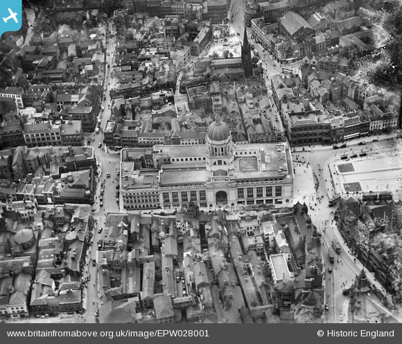
EPW028001 ENGLAND (1929). The Council House and environs, Nottingham, 1929
© Copyright OpenStreetMap contributors and licensed by the OpenStreetMap Foundation. 2026. Cartography is licensed as CC BY-SA.
Nearby Images (36)
EPW028001

EPW027999

EPW028002

EPW028869

EPW027998

EPW028000

EAW042516

EPW028871

EPW021793

EAW042515

EPW028873

EAW042517

EPW054996

EPW028872

EAW025941

EPW047469

EPW038634

EPW028870

EAW021697

EAW050486

EPW054993

EAW025940

EPR000151

EPW013014

EAW021699

EPW054989

EPW047468

EPW008489

EPW008583

EPW054997

EPW013018

EAW021698

EPW008490

EAW050484

EPW054995

EPW008493

Details
| Title | [EPW028001] The Council House and environs, Nottingham, 1929 |
| Reference | EPW028001 |
| Date | 2-July-1929 |
| Link | |
| Place name | NOTTINGHAM |
| Parish | |
| District | |
| Country | ENGLAND |
| Easting / Northing | 457309, 339901 |
| Longitude / Latitude | -1.1468816964506, 52.953107878827 |
| National Grid Reference | SK573399 |
Pins

stephen mulloy |
Thursday 11th of January 2024 10:59:11 PM | |
|
KC |
Tuesday 13th of September 2022 09:14:41 PM | |
|
KC |
Tuesday 13th of September 2022 09:14:17 PM |