
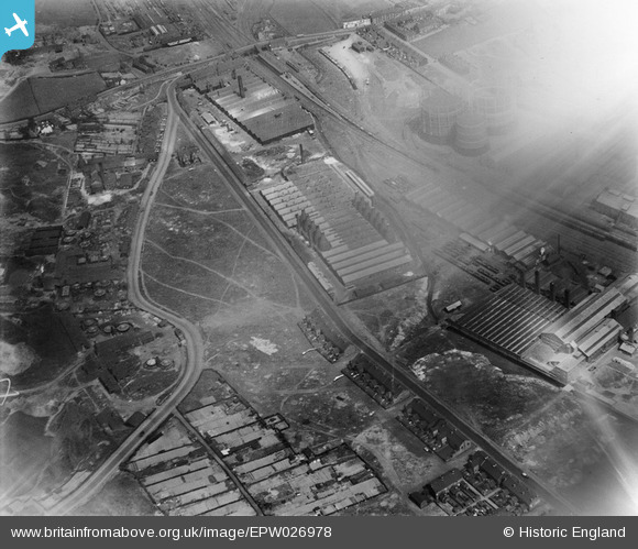
EPW026978 ENGLAND (1929). The Etruria Pottery and environs, Hartshill, 1929
© Copyright OpenStreetMap contributors and licensed by the OpenStreetMap Foundation. 2026. Cartography is licensed as CC BY-SA.
Nearby Images (27)
EPW026978

EPW026970

EPW026968

EPW026969

EPW026974

EPW023570

EPW023569

EPW026977

EPW023568

EPW026971

EPW023571

EPW020065

EPW038486

EPW038484

EPW038487

EPW038482

EPW038483

EPW038485

EPW038491

EAW021618

EAW021621

EPW038492

EAW020985

EPW038489

EPW038493

EAW021620

EAW021622

Details
| Title | [EPW026978] The Etruria Pottery and environs, Hartshill, 1929 |
| Reference | EPW026978 |
| Date | May-1929 |
| Link | |
| Place name | HARTSHILL |
| Parish | |
| District | |
| Country | ENGLAND |
| Easting / Northing | 386612, 346621 |
| Longitude / Latitude | -2.1995872997695, 53.016416413154 |
| National Grid Reference | SJ866466 |
Pins
Be the first to add a comment to this image!