
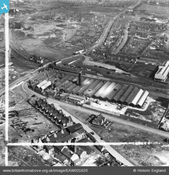
EAW021620 ENGLAND (1949). Wengers Ltd Ceramic Colour and Chemical Works and environs, Etruria, 1949. This image has been produced from a print marked by Aerofilms Ltd for photo editing.
© Copyright OpenStreetMap contributors and licensed by the OpenStreetMap Foundation. 2026. Cartography is licensed as CC BY-SA.
Nearby Images (22)
EAW021620

EPW038489

EPW038492

EPW038493

EAW021618

EAW021622

EAW021621

EPW038491

EAW021624

EAW021623

EAW021617

EPW038490

EPW038488

EAW021619

EPW020065

EPW023571

EPW023568

EPW023569

EPW023570

EPW038485

EPW026978

EPW038483

Details
| Title | [EAW021620] Wengers Ltd Ceramic Colour and Chemical Works and environs, Etruria, 1949. This image has been produced from a print marked by Aerofilms Ltd for photo editing. |
| Reference | EAW021620 |
| Date | 25-March-1949 |
| Link | |
| Place name | ETRURIA |
| Parish | |
| District | |
| Country | ENGLAND |
| Easting / Northing | 386543, 346867 |
| Longitude / Latitude | -2.2006261977722, 53.018626255994 |
| National Grid Reference | SJ865469 |
Pins
Be the first to add a comment to this image!