
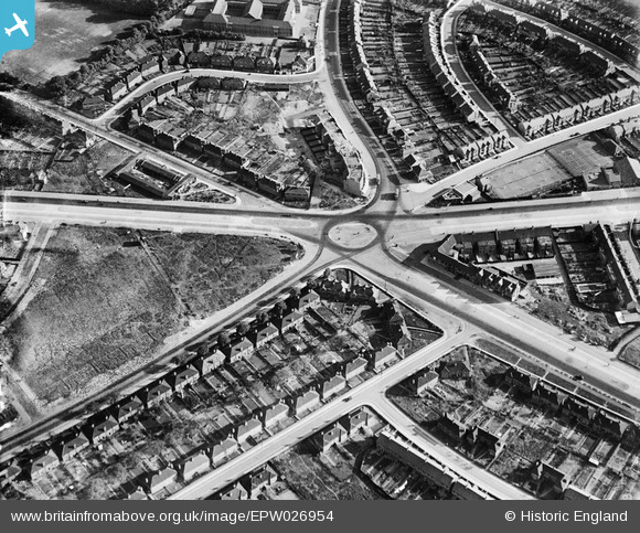
EPW026954 ENGLAND (1929). Gants Hill roundabout, Gants Hill, 1929
© Copyright OpenStreetMap contributors and licensed by the OpenStreetMap Foundation. 2026. Cartography is licensed as CC BY-SA.
Nearby Images (9)
EPW026954

EPW026953

EPW026955

EPW043388

EPW024296

EPW043391

EPW043386

EPW043392

EPW043389

Details
| Title | [EPW026954] Gants Hill roundabout, Gants Hill, 1929 |
| Reference | EPW026954 |
| Date | May-1929 |
| Link | |
| Place name | GANTS HILL |
| Parish | |
| District | |
| Country | ENGLAND |
| Easting / Northing | 543323, 188448 |
| Longitude / Latitude | 0.068544150581564, 51.576176841041 |
| National Grid Reference | TQ433884 |
Pins

bazouteast |
Thursday 13th of March 2014 08:08:29 PM | |
|
bazouteast |
Thursday 13th of March 2014 08:07:29 PM | |
|
bazouteast |
Thursday 13th of March 2014 08:07:06 PM | |
|
bazouteast |
Thursday 13th of March 2014 08:05:44 PM |