
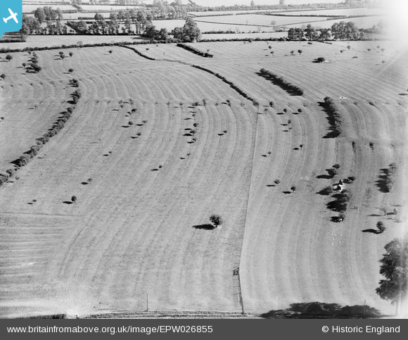
EPW026855 ENGLAND (1929). Ridge and Furrow at Crimscote Field Farm, Crimscote, 1929
© Copyright OpenStreetMap contributors and licensed by the OpenStreetMap Foundation. 2026. Cartography is licensed as CC BY-SA.
Nearby Images (11)
EPW026855

EPW026856

EPW026854

EPW026858

EAW015372

EPW026853

EPW026859

EAW015375

EAW015373

EPW026851

EAW015374

Details
| Title | [EPW026855] Ridge and Furrow at Crimscote Field Farm, Crimscote, 1929 |
| Reference | EPW026855 |
| Date | May-1929 |
| Link | |
| Place name | CRIMSCOTE |
| Parish | WHITCHURCH |
| District | |
| Country | ENGLAND |
| Easting / Northing | 422777, 246544 |
| Longitude / Latitude | -1.6673228119726, 52.116334692738 |
| National Grid Reference | SP228465 |
Pins
Be the first to add a comment to this image!