
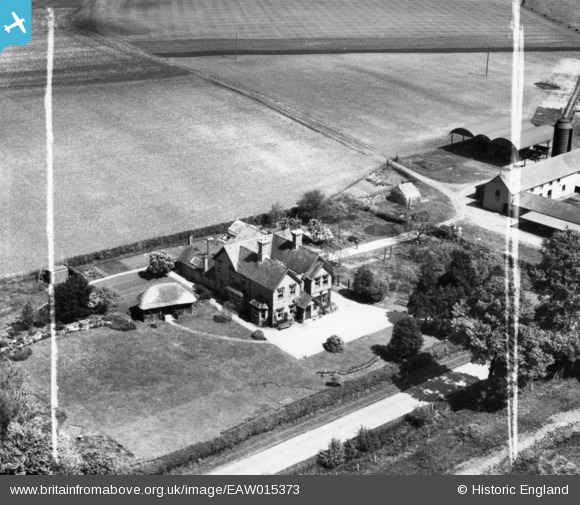
EAW015373 ENGLAND (1948). Crimscote Field Farm, Crimscote, 1948. This image has been produced from a print marked by Aerofilms Ltd for photo editing.
© Copyright OpenStreetMap contributors and licensed by the OpenStreetMap Foundation. 2026. Cartography is licensed as CC BY-SA.
Nearby Images (9)
EAW015373

EAW015375

EAW015374

EAW015372

EPW026850

EPW026856

EPW026855

EPW026854

EPW026858

Details
| Title | [EAW015373] Crimscote Field Farm, Crimscote, 1948. This image has been produced from a print marked by Aerofilms Ltd for photo editing. |
| Reference | EAW015373 |
| Date | 6-May-1948 |
| Link | |
| Place name | CRIMSCOTE |
| Parish | WHITCHURCH |
| District | |
| Country | ENGLAND |
| Easting / Northing | 422624, 246762 |
| Longitude / Latitude | -1.6695429706018, 52.118301103646 |
| National Grid Reference | SP226468 |
Pins
Be the first to add a comment to this image!