
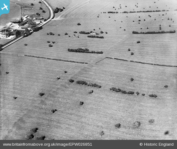
EPW026851 ENGLAND (1929). Ridge and Furrow at Crimscote Field Farm and environs, Crimscote, 1929
© Copyright OpenStreetMap contributors and licensed by the OpenStreetMap Foundation. 2026. Cartography is licensed as CC BY-SA.
Nearby Images (5)
EPW026851

EPW026852

EPW026857

EPW026855

EPW026856

Details
| Title | [EPW026851] Ridge and Furrow at Crimscote Field Farm and environs, Crimscote, 1929 |
| Reference | EPW026851 |
| Date | May-1929 |
| Link | |
| Place name | CRIMSCOTE |
| Parish | WHITCHURCH |
| District | |
| Country | ENGLAND |
| Easting / Northing | 422533, 246432 |
| Longitude / Latitude | -1.6708939886521, 52.115337654513 |
| National Grid Reference | SP225464 |
Pins
Be the first to add a comment to this image!