
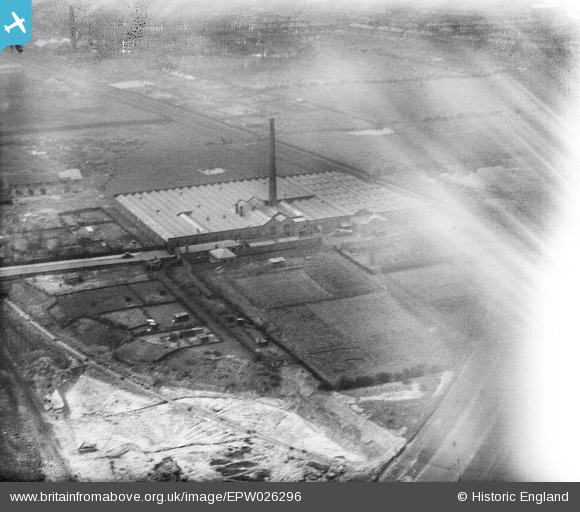
EPW026296 ENGLAND (1929). The Emerson Cotton Mill, Preston, 1929
© Copyright OpenStreetMap contributors and licensed by the OpenStreetMap Foundation. 2026. Cartography is licensed as CC BY-SA.
Nearby Images (27)
EPW026296

EPW026292

EPW026295

EPW026291

EPW056720

EAW025997

EPW056721

EPW026293

EPW056723

EPW056724

EPW056725

EPW026294

EPW056722

EPW026399

EAW025994

EAW025996

EAW025993

EAW025999

EPW038861

EAW025995

EAW025998

EPW038860

EPW038859

EPW038858

EPW038866

EPW038862

EPW038863

Details
| Title | [EPW026296] The Emerson Cotton Mill, Preston, 1929 |
| Reference | EPW026296 |
| Date | April-1929 |
| Link | |
| Place name | PRESTON |
| Parish | |
| District | |
| Country | ENGLAND |
| Easting / Northing | 355502, 430730 |
| Longitude / Latitude | -2.6752117978682, 53.7707906451 |
| National Grid Reference | SD555307 |
