
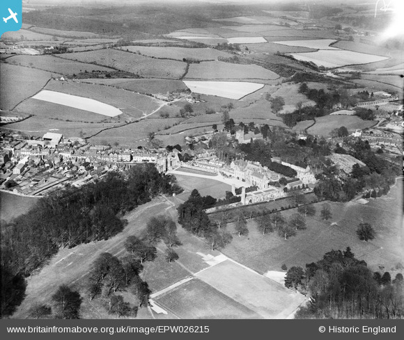
EPW026215 ENGLAND (1929). Battle Abbey and surrounding countryside, Battle, 1929
© Copyright OpenStreetMap contributors and licensed by the OpenStreetMap Foundation. 2026. Cartography is licensed as CC BY-SA.
Nearby Images (13)
EPW026215

EAW024803

EAW024807

EPW026217

EPW026214

EAW024805

EAW024806

EPW026213

EAW024804

EPW000613

EPW000677

EPW000680

EPW000763

Details
| Title | [EPW026215] Battle Abbey and surrounding countryside, Battle, 1929 |
| Reference | EPW026215 |
| Date | 24-April-1929 |
| Link | |
| Place name | BATTLE |
| Parish | BATTLE |
| District | |
| Country | ENGLAND |
| Easting / Northing | 574893, 115772 |
| Longitude / Latitude | 0.48825195375346, 50.914323793245 |
| National Grid Reference | TQ749158 |
Pins
Be the first to add a comment to this image!