
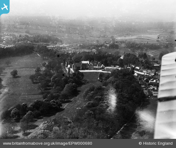
EPW000680 ENGLAND (1920). Battle Abbey, Battle, from the east, 1920
© Copyright OpenStreetMap contributors and licensed by the OpenStreetMap Foundation. 2026. Cartography is licensed as CC BY-SA.
Nearby Images (10)
EPW000680

EPW000677

EPW000763

EAW024806

EAW024805

EPW026215

EPW026217

EPW026214

EAW024803

EAW024807

Details
| Title | [EPW000680] Battle Abbey, Battle, from the east, 1920 |
| Reference | EPW000680 |
| Date | April-1920 |
| Link | |
| Place name | BATTLE |
| Parish | BATTLE |
| District | |
| Country | ENGLAND |
| Easting / Northing | 575052, 115649 |
| Longitude / Latitude | 0.49045278941544, 50.913170440582 |
| National Grid Reference | TQ751156 |
Pins
Be the first to add a comment to this image!
User Comment Contributions
. . .this has been printed in reverse !!!! |

TimY |
Tuesday 5th of November 2013 12:17:42 PM |