
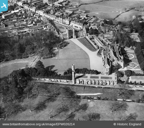
EPW026214 ENGLAND (1929). Battle Abbey, Battle, 1929
© Copyright OpenStreetMap contributors and licensed by the OpenStreetMap Foundation. 2026. Cartography is licensed as CC BY-SA.
Nearby Images (12)
EPW026214

EPW026217

EAW024805

EAW024803

EPW000613

EAW024806

EPW026215

EAW024807

EAW024804

EPW026213

EPW000680

EPW000677

Details
| Title | [EPW026214] Battle Abbey, Battle, 1929 |
| Reference | EPW026214 |
| Date | 24-April-1929 |
| Link | |
| Place name | BATTLE |
| Parish | BATTLE |
| District | |
| Country | ENGLAND |
| Easting / Northing | 574838, 115692 |
| Longitude / Latitude | 0.48743190178668, 50.913621665089 |
| National Grid Reference | TQ748157 |
Pins
Be the first to add a comment to this image!