
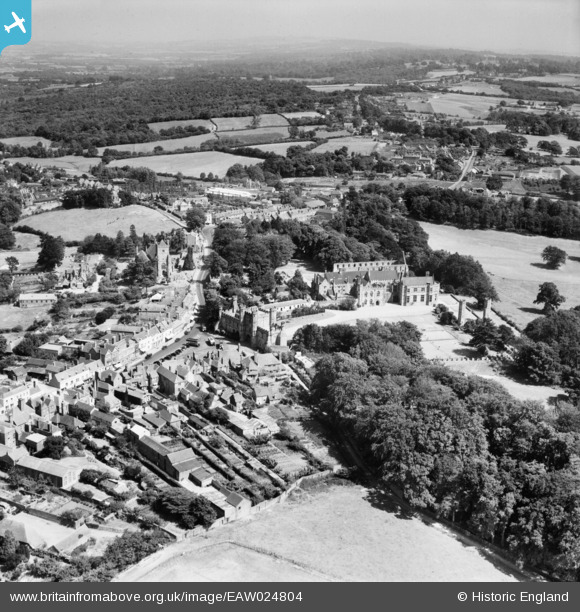
EAW024804 ENGLAND (1949). The abbey and environs, Battle, 1949
© Copyright OpenStreetMap contributors and licensed by the OpenStreetMap Foundation. 2026. Cartography is licensed as CC BY-SA.
Nearby Images (10)
EAW024804

EPW026213

EAW024807

EAW024803

EPW026214

EPW026215

EPW026217

EPW000613

EAW024805

EAW024806

Details
| Title | [EAW024804] The abbey and environs, Battle, 1949 |
| Reference | EAW024804 |
| Date | 12-July-1949 |
| Link | |
| Place name | BATTLE |
| Parish | BATTLE |
| District | |
| Country | ENGLAND |
| Easting / Northing | 574736, 115816 |
| Longitude / Latitude | 0.48604159438897, 50.914766690308 |
| National Grid Reference | TQ747158 |
