
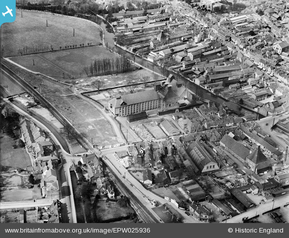
EPW025936 ENGLAND (1929). Malthouse at Amwell End, Ware, 1929
© Copyright OpenStreetMap contributors and licensed by the OpenStreetMap Foundation. 2026. Cartography is licensed as CC BY-SA.
Nearby Images (12)
EPW025936

EAW022366

EAW049501

EPW013338

EAW022401

EPW025928

EPW013340

EAW022399

EAW022365

EAW022404

EAW022403

EAW022367

Details
| Title | [EPW025936] Malthouse at Amwell End, Ware, 1929 |
| Reference | EPW025936 |
| Date | 3-April-1929 |
| Link | |
| Place name | WARE |
| Parish | WARE |
| District | |
| Country | ENGLAND |
| Easting / Northing | 535867, 214088 |
| Longitude / Latitude | -0.029009457499923, 51.808447999902 |
| National Grid Reference | TL359141 |
Pins

NJL61 |
Saturday 5th of June 2021 04:53:22 PM | |
|
John W |
Wednesday 3rd of August 2016 07:21:29 PM | |
|
John1949 |
Tuesday 30th of December 2014 06:18:25 PM | |
|
John1949 |
Monday 11th of August 2014 09:45:39 AM | |
|
John1949 |
Wednesday 6th of August 2014 02:01:55 PM | |

Class31 |
Tuesday 27th of May 2014 08:21:57 AM | |
|
Class31 |
Tuesday 27th of May 2014 08:20:31 AM |

