
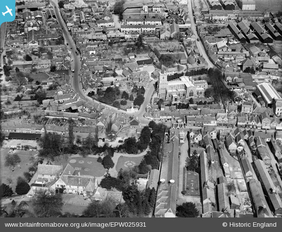
EPW025931 ENGLAND (1929). St Mary's Church and environs, Ware, 1929
© Copyright OpenStreetMap contributors and licensed by the OpenStreetMap Foundation. 2026. Cartography is licensed as CC BY-SA.
Nearby Images (8)
EPW025931

EPW025935

EPW025929

EAW022367

EAW022403

EPW013338

EAW022404

EPW013341

Details
| Title | [EPW025931] St Mary's Church and environs, Ware, 1929 |
| Reference | EPW025931 |
| Date | 3-April-1929 |
| Link | |
| Place name | WARE |
| Parish | WARE |
| District | |
| Country | ENGLAND |
| Easting / Northing | 535635, 214409 |
| Longitude / Latitude | -0.032247216423149, 51.811389082102 |
| National Grid Reference | TL356144 |
Pins

Howie |
Saturday 18th of April 2015 01:55:06 AM | |
|
John1949 |
Tuesday 12th of August 2014 06:34:12 PM | |
|
Ray Flack |
Tuesday 17th of June 2014 04:01:52 PM | |
|
Ray Flack |
Tuesday 17th of June 2014 03:59:07 PM | |
|
Ray Flack |
Tuesday 17th of June 2014 03:58:11 PM | |
|
Ray Flack |
Tuesday 17th of June 2014 03:53:24 PM | |
|
Ray Flack |
Tuesday 17th of June 2014 03:50:23 PM | |
|
Ray Flack |
Tuesday 17th of June 2014 03:49:43 PM | |
|
Ray Flack |
Tuesday 17th of June 2014 03:48:33 PM | |
|
Ray Flack |
Tuesday 17th of June 2014 03:47:31 PM | |
|
Ray Flack |
Tuesday 17th of June 2014 03:46:38 PM | |
|
Ray Flack |
Tuesday 17th of June 2014 03:45:44 PM | |
|
Ray Flack |
Tuesday 17th of June 2014 03:45:08 PM | |

Class31 |
Monday 26th of May 2014 09:23:27 PM |
