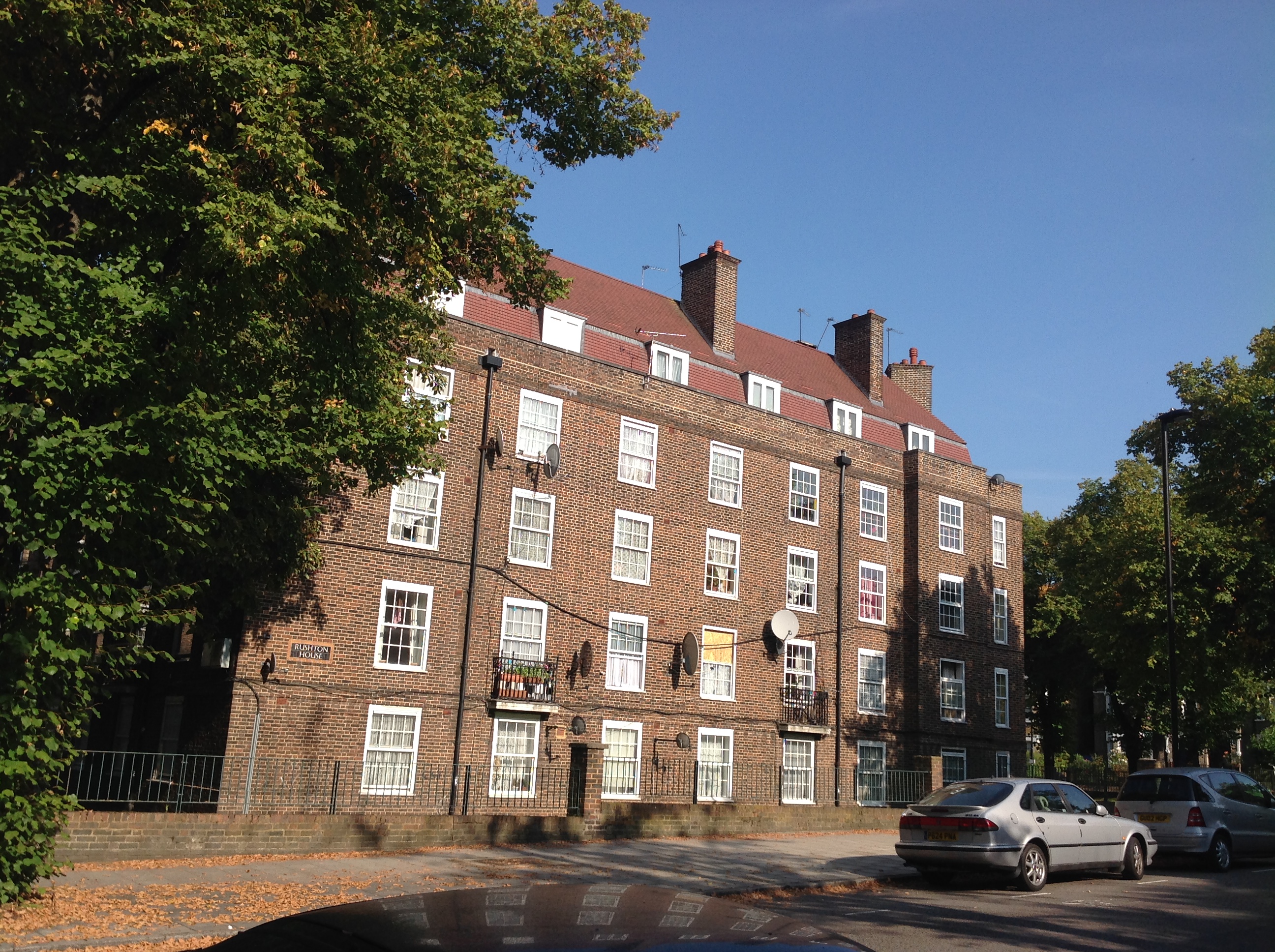
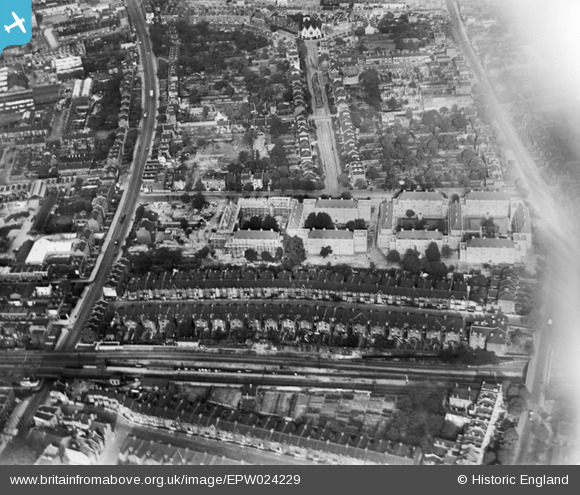
EPW024229 ENGLAND (1928). The Larkhall Estate under construction and environs, Lambeth, 1928
© Copyright OpenStreetMap contributors and licensed by the OpenStreetMap Foundation. 2026. Cartography is licensed as CC BY-SA.
Nearby Images (20)
EPW024229

EPW024226

EPW024225

EPW024228

EAW000470

EPW024227

EAW000473

EAW000475

EAW000474

EPW022809

EPW022806

EAW000471

EAW000472

EPW022808

EPW017169

EAW030134

EPW022807

EPW017173

EPW022820

EPW017171

Details
| Title | [EPW024229] The Larkhall Estate under construction and environs, Lambeth, 1928 |
| Reference | EPW024229 |
| Date | September-1928 |
| Link | |
| Place name | LAMBETH |
| Parish | |
| District | |
| Country | ENGLAND |
| Easting / Northing | 529539, 176225 |
| Longitude / Latitude | -0.13477204222534, 51.46965713353 |
| National Grid Reference | TQ295762 |
Pins

Class31 |
Tuesday 25th of November 2014 08:50:51 AM | |
|
Class31 |
Tuesday 25th of November 2014 08:50:12 AM | |
|
Class31 |
Tuesday 25th of November 2014 08:48:27 AM | |
|
Class31 |
Tuesday 25th of November 2014 08:46:26 AM | |
|
Class31 |
Tuesday 25th of November 2014 08:45:28 AM | |
|
Class31 |
Tuesday 25th of November 2014 08:41:06 AM | |
|
Class31 |
Tuesday 25th of November 2014 08:40:23 AM | |
|
Class31 |
Tuesday 25th of November 2014 08:39:20 AM | |
|
Class31 |
Monday 24th of November 2014 08:59:41 AM |