
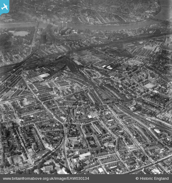
EAW030134 ENGLAND (1950). Silverthorne Road, Wandsworth Road and environs, Clapham, 1950. This image has been produced from a print.
© Copyright OpenStreetMap contributors and licensed by the OpenStreetMap Foundation. 2026. Cartography is licensed as CC BY-SA.
Nearby Images (12)
EAW030134

EAW000472

EPW017171

EAW000474

EAW000470

EAW000473

EPW024225

EPW022806

EPW024227

EPW024229

EAW000475

EPW022808

Details
| Title | [EAW030134] Silverthorne Road, Wandsworth Road and environs, Clapham, 1950. This image has been produced from a print. |
| Reference | EAW030134 |
| Date | 6-June-1950 |
| Link | |
| Place name | CLAPHAM |
| Parish | |
| District | |
| Country | ENGLAND |
| Easting / Northing | 529301, 176242 |
| Longitude / Latitude | -0.13819082847796, 51.469864370843 |
| National Grid Reference | TQ293762 |
