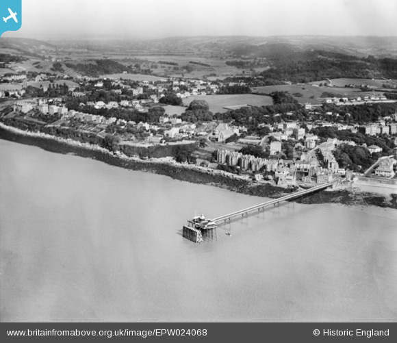
EPW024068 ENGLAND (1928). The Pier and Dial Hill, Clevedon, from the west, 1928
© Copyright OpenStreetMap contributors and licensed by the OpenStreetMap Foundation. 2026. Cartography is licensed as CC BY-SA.
Nearby Images (5)
EPW024068

EPW024065

EPW024062

EPW033270

EPW008632

Details
| Title | [EPW024068] The Pier and Dial Hill, Clevedon, from the west, 1928 |
| Reference | EPW024068 |
| Date | September-1928 |
| Link | |
| Place name | CLEVEDON |
| Parish | CLEVEDON |
| District | |
| Country | ENGLAND |
| Easting / Northing | 339943, 171992 |
| Longitude / Latitude | -2.8642330711255, 51.44324153167 |
| National Grid Reference | ST399720 |