
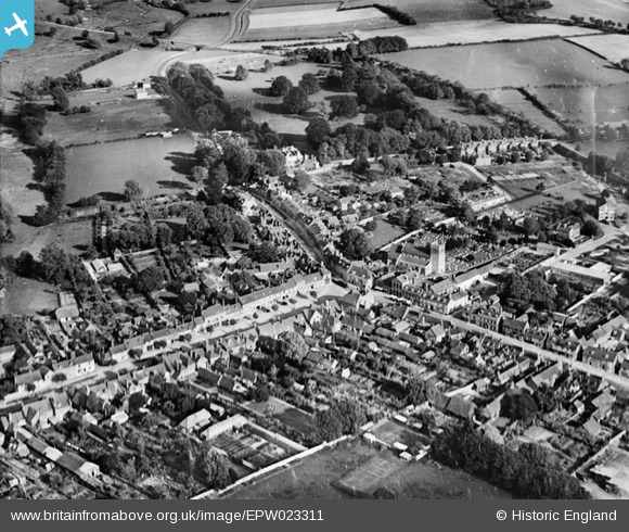
EPW023311 ENGLAND (1928). The town centre, New Alresford, 1928
© Copyright OpenStreetMap contributors and licensed by the OpenStreetMap Foundation. 2026. Cartography is licensed as CC BY-SA.
Nearby Images (8)
EPW023311

EPW023310

EPW032308

EPW023313

EPW023314

EPW032307

EAW040902

EPW023309

Details
| Title | [EPW023311] The town centre, New Alresford, 1928 |
| Reference | EPW023311 |
| Date | September-1928 |
| Link | |
| Place name | NEW ALRESFORD |
| Parish | NEW ALRESFORD |
| District | |
| Country | ENGLAND |
| Easting / Northing | 458886, 132691 |
| Longitude / Latitude | -1.1590904313601, 51.089974296786 |
| National Grid Reference | SU589327 |
Pins
Be the first to add a comment to this image!