
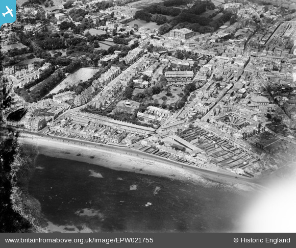
EPW021755 ENGLAND (1928). Morrab Gardens and the town, Penzance, 1928
© Copyright OpenStreetMap contributors and licensed by the OpenStreetMap Foundation. 2026. Cartography is licensed as CC BY-SA.
Nearby Images (10)
EPW021755

EPW021759

EPW039838

EAW033726

EAW033724

EAW033729

EAW033728

EAW033727

EPW021757

EAW033725

Details
| Title | [EPW021755] Morrab Gardens and the town, Penzance, 1928 |
| Reference | EPW021755 |
| Date | 24-June-1928 |
| Link | |
| Place name | PENZANCE |
| Parish | PENZANCE |
| District | |
| Country | ENGLAND |
| Easting / Northing | 147285, 29923 |
| Longitude / Latitude | -5.5354007227548, 50.114874986314 |
| National Grid Reference | SW473299 |
