
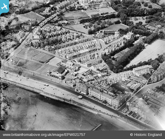
EPW021757 ENGLAND (1928). Redinnick Place and environs, Penzance, 1928
© Copyright OpenStreetMap contributors and licensed by the OpenStreetMap Foundation. 2026. Cartography is licensed as CC BY-SA.
Nearby Images (12)
EPW021757

EAW033725

EAW033727

EAW033728

EAW033729

EAW033724

EAW033726

EPW021756

EPW021759

EPW039840

EPW021755

EPW039843

Details
| Title | [EPW021757] Redinnick Place and environs, Penzance, 1928 |
| Reference | EPW021757 |
| Date | 24-June-1928 |
| Link | |
| Place name | PENZANCE |
| Parish | PENZANCE |
| District | |
| Country | ENGLAND |
| Easting / Northing | 147038, 29783 |
| Longitude / Latitude | -5.5387564404804, 50.113512963493 |
| National Grid Reference | SW470298 |
Pins

Weenieb |
Friday 4th of July 2014 03:11:37 PM |