
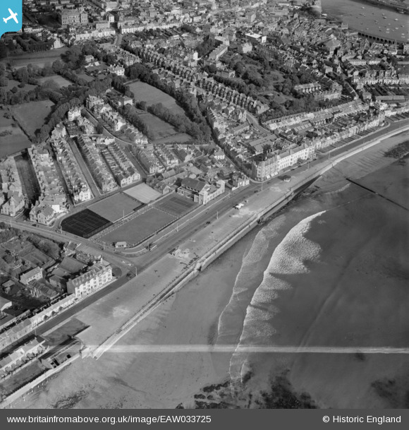
EAW033725 ENGLAND (1950). Western Promenade Road, Penzance, 1950. This image was marked by Aerofilms Ltd for photo editing.
© Copyright OpenStreetMap contributors and licensed by the OpenStreetMap Foundation. 2026. Cartography is licensed as CC BY-SA.
Nearby Images (12)
EAW033725

EPW021757

EAW033727

EAW033728

EAW033729

EAW033724

EAW033726

EPW021756

EPW039840

EPW039843

EPW021759

EPW021755

Details
| Title | [EAW033725] Western Promenade Road, Penzance, 1950. This image was marked by Aerofilms Ltd for photo editing. |
| Reference | EAW033725 |
| Date | 16-October-1950 |
| Link | |
| Place name | PENZANCE |
| Parish | PENZANCE |
| District | |
| Country | ENGLAND |
| Easting / Northing | 147045, 29702 |
| Longitude / Latitude | -5.5386050549962, 50.112788769549 |
| National Grid Reference | SW470297 |
