
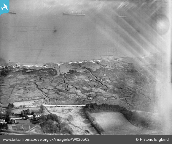
EPW020502 ENGLAND (1928). Southampton Water mud flats, Langdown, from the south-west, 1928
© Copyright OpenStreetMap contributors and licensed by the OpenStreetMap Foundation. 2026. Cartography is licensed as CC BY-SA.
Nearby Images (4)
EPW020502

EAW006576

EPW020501

EPW020524

Details
| Title | [EPW020502] Southampton Water mud flats, Langdown, from the south-west, 1928 |
| Reference | EPW020502 |
| Date | 16-March-1928 |
| Link | |
| Place name | LANGDOWN |
| Parish | FAWLEY |
| District | |
| Country | ENGLAND |
| Easting / Northing | 443497, 106877 |
| Longitude / Latitude | -1.3819229724061, 50.859208451436 |
| National Grid Reference | SU435069 |
Pins
Be the first to add a comment to this image!