
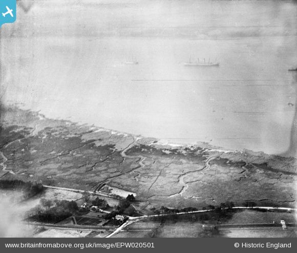
EPW020501 ENGLAND (1928). Southampton Water mud flats, Langdown, from the south-west, 1928
© Copyright OpenStreetMap contributors and licensed by the OpenStreetMap Foundation. 2026. Cartography is licensed as CC BY-SA.
Nearby Images (4)
EPW020501

EAW006576

EPW020524

EPW020502

Details
| Title | [EPW020501] Southampton Water mud flats, Langdown, from the south-west, 1928 |
| Reference | EPW020501 |
| Date | 16-March-1928 |
| Link | |
| Place name | LANGDOWN |
| Parish | FAWLEY |
| District | |
| Country | ENGLAND |
| Easting / Northing | 443414, 107118 |
| Longitude / Latitude | -1.3830737014773, 50.86138199669 |
| National Grid Reference | SU434071 |
Pins

bingram1970 |
Sunday 1st of July 2012 11:11:12 PM | |
|
bingram1970 |
Sunday 1st of July 2012 11:10:15 PM |
User Comment Contributions
EPW020501 - This image appears to have been reversed in error - compare to EPW020524 which has the correct orientation. |
Kevin O'Neill |
Monday 25th of June 2012 02:58:18 PM |