
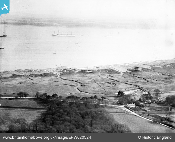
EPW020524 ENGLAND (1928). Southampton Water mud flats and Tate's Copse, Langdown, from the south-west, 1928
© Copyright OpenStreetMap contributors and licensed by the OpenStreetMap Foundation. 2026. Cartography is licensed as CC BY-SA.
Nearby Images (3)
EPW020524

EPW020501

EPW020502

Details
| Title | [EPW020524] Southampton Water mud flats and Tate's Copse, Langdown, from the south-west, 1928 |
| Reference | EPW020524 |
| Date | 16-March-1928 |
| Link | |
| Place name | LANGDOWN |
| Parish | HYTHE AND DIBDEN |
| District | |
| Country | ENGLAND |
| Easting / Northing | 443251, 107099 |
| Longitude / Latitude | -1.3853920853018, 50.861223349662 |
| National Grid Reference | SU433071 |
Pins

ecuk268 |
Tuesday 25th of June 2013 10:18:24 PM | |
|
bingram1970 |
Sunday 1st of July 2012 11:09:26 PM | |
|
bingram1970 |
Sunday 1st of July 2012 11:07:27 PM |