
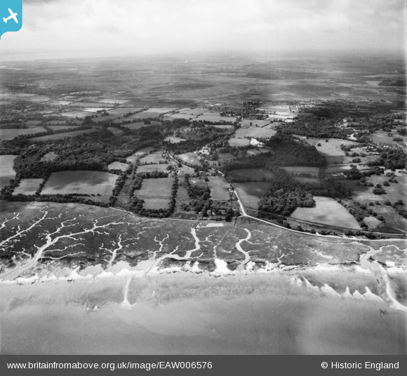
EAW006576 ENGLAND (1947). Southampton Water mud flats, Frostlane and environs, Frostlane, from the north-east, 1947
© Copyright OpenStreetMap contributors and licensed by the OpenStreetMap Foundation. 2026. Cartography is licensed as CC BY-SA.
Nearby Images (3)
EAW006576

EPW020501

EPW020502

Details
| Title | [EAW006576] Southampton Water mud flats, Frostlane and environs, Frostlane, from the north-east, 1947 |
| Reference | EAW006576 |
| Date | 27-May-1947 |
| Link | |
| Place name | FROSTLANE |
| Parish | FAWLEY |
| District | |
| Country | ENGLAND |
| Easting / Northing | 443505, 107112 |
| Longitude / Latitude | -1.3817813573512, 50.861321196994 |
| National Grid Reference | SU435071 |
Pins
Be the first to add a comment to this image!