
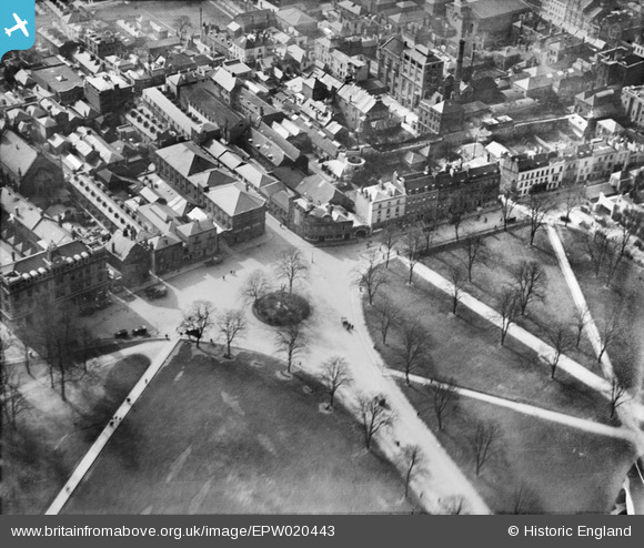
EPW020443 ENGLAND (1928). Houndwell Park and Polymond Tower, Southampton, 1928
© Copyright OpenStreetMap contributors and licensed by the OpenStreetMap Foundation. 2026. Cartography is licensed as CC BY-SA.
Nearby Images (5)
EPW020443

EPW000234

EPW042960

EPW020453

EPW013581

Details
| Title | [EPW020443] Houndwell Park and Polymond Tower, Southampton, 1928 |
| Reference | EPW020443 |
| Date | 16-March-1928 |
| Link | |
| Place name | SOUTHAMPTON |
| Parish | |
| District | |
| Country | ENGLAND |
| Easting / Northing | 442180, 111659 |
| Longitude / Latitude | -1.4000839892694, 50.902310420188 |
| National Grid Reference | SU422117 |
Pins

Liz coe |
Monday 13th of February 2023 10:29:10 AM | |
|
ARussel |
Saturday 18th of September 2021 09:46:32 PM | |
|
ARussel |
Saturday 18th of September 2021 09:46:06 PM | |
|
alastair wallace |
Thursday 29th of October 2015 08:54:35 PM | |

Class31 |
Tuesday 6th of August 2013 08:54:57 AM | |
|
Class31 |
Monday 6th of August 2012 09:01:51 AM | |
|
Class31 |
Monday 6th of August 2012 09:00:51 AM | |
|
Class31 |
Monday 6th of August 2012 08:55:11 AM | |
|
Class31 |
Monday 6th of August 2012 08:53:04 AM | |
|
Class31 |
Monday 6th of August 2012 08:51:06 AM | |
|
Class31 |
Monday 6th of August 2012 08:45:02 AM |

User Comment Contributions

View looking west along the city walls from near the Polymond Tower. Taken 5th August 2013. |
Class31 |
Tuesday 6th of August 2013 08:57:24 AM |