
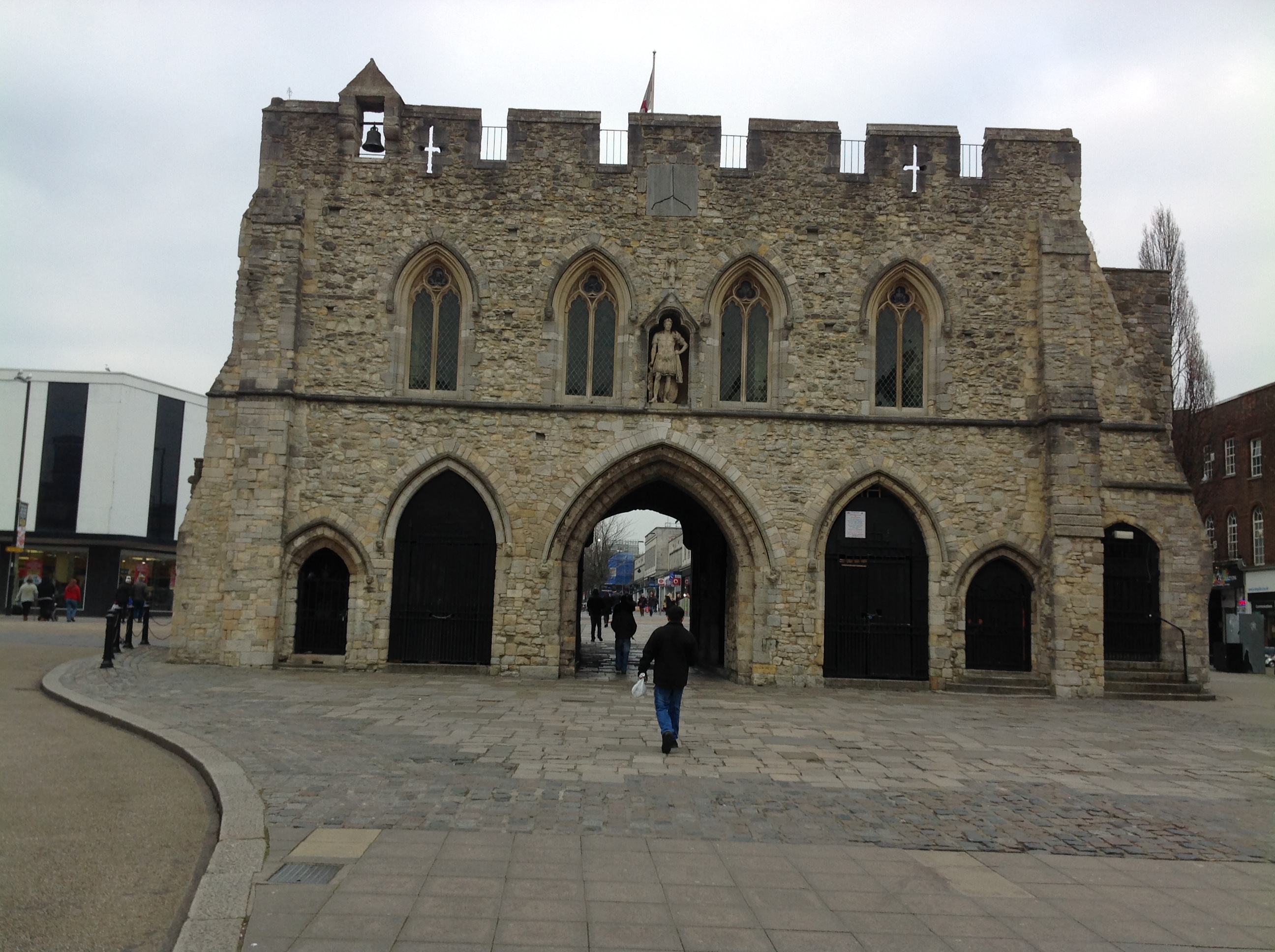
EPW000234 ENGLAND (1920). The High Street, Southampton, from the south, 1920

© Copyright OpenStreetMap contributors and licensed by the OpenStreetMap Foundation. 2026. Cartography is licensed as CC BY-SA.
Nearby Images (3)
EPW000234

EPW042960

EPW020443

Details
| Title | [EPW000234] The High Street, Southampton, from the south, 1920 |
| Reference | EPW000234 |
| Date | April-1920 |
| Link | |
| Place name | SOUTHAMPTON |
| Parish | |
| District | |
| Country | ENGLAND |
| Easting / Northing | 442003, 111550 |
| Longitude / Latitude | -1.4026138150888, 50.90134309753 |
| National Grid Reference | SU420116 |
Pins

Andy Russel |
Monday 1st of May 2023 11:21:29 PM | |
|
Liz coe |
Monday 24th of February 2020 10:00:05 PM | |
|
alastair wallace |
Thursday 29th of October 2015 08:53:20 PM | |

Class31 |
Thursday 12th of February 2015 07:47:33 PM | |
 |
Class31 |
Thursday 12th of February 2015 07:44:43 PM |
|
Class31 |
Thursday 12th of February 2015 07:36:33 PM | |
|
Waggers |
Tuesday 26th of June 2012 12:44:42 PM | |
I think you will find the church is St Lawrence not Holyrood, Holyrood would be just behind the wing tip on the image. |
MikeAthow |
Monday 28th of January 2019 09:03:12 AM |
|
Waggers |
Tuesday 26th of June 2012 12:40:15 PM |


User Comment Contributions
The Bargate, Southampton, 12/02/2015 |
Class31 |
Thursday 12th of February 2015 07:27:56 PM |
That isnt Holy Rood. The spire of Holy Rood is just peeking out from underneath the aircraft wing |
Tim Naylor |
Friday 28th of November 2014 04:00:11 PM |