
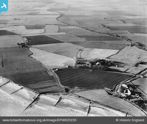
EPW020155 ENGLAND (1927). Bailiffscourt and surrounding countryside, Climping, 1927
© Copyright OpenStreetMap contributors and licensed by the OpenStreetMap Foundation. 2026. Cartography is licensed as CC BY-SA.
Nearby Images (36)
EPW020155

EPW020167

EPW020165

EPW062498

EPW020171

EPW020160

EPW020169

EPW062495

EPW062494

EPW020153

EPW062497

EPW045538

EPW020148

EPW020156

EPW020164

EPW020162

EPW062492

EPW020149

EPW045536

EPW020150

EPW020151

EPW020157

EPW062503

EPW020158

EPW020152

EPW020172

EPW020163

EPW020170

EPW045583

EPW045537

EPW062493

EPW020161

EPW045533

EPW062504

EPW045531

EPW045535

Details
| Title | [EPW020155] Bailiffscourt and surrounding countryside, Climping, 1927 |
| Reference | EPW020155 |
| Date | 26-November-1927 |
| Link | |
| Place name | CLIMPING |
| Parish | CLIMPING |
| District | |
| Country | ENGLAND |
| Easting / Northing | 500122, 100841 |
| Longitude / Latitude | -0.57914017170088, 50.797907163857 |
| National Grid Reference | TQ001008 |
Pins

MB |
Saturday 13th of October 2012 01:27:16 PM | |
|
MB |
Saturday 13th of October 2012 01:25:34 PM | |
|
MB |
Saturday 13th of October 2012 01:24:30 PM | |
|
MB |
Saturday 13th of October 2012 01:22:20 PM | |
|
MB |
Saturday 13th of October 2012 01:21:56 PM | |
|
MB |
Saturday 13th of October 2012 01:17:49 PM | |
|
MB |
Saturday 13th of October 2012 01:16:17 PM | |
|
MB |
Saturday 13th of October 2012 01:15:20 PM | |
|
MB |
Saturday 13th of October 2012 01:14:22 PM |