
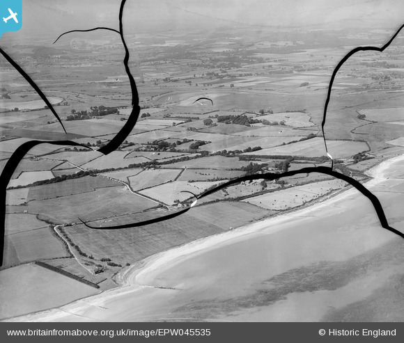
EPW045535 ENGLAND (1934). The beach, Cudlow Barn, Bailiffscourt and surrounding countryside, Atherington, from the south-west, 1934. This image has been produced from a damaged negative.
© Copyright OpenStreetMap contributors and licensed by the OpenStreetMap Foundation. 2026. Cartography is licensed as CC BY-SA.
Nearby Images (11)
EPW045535

EPW045532

EPW045534

EPW062503

EPW020164

EPW020159

EPW020167

EPW020155

EPW020165

EPW020171

EPW020169

Details
| Title | [EPW045535] The beach, Cudlow Barn, Bailiffscourt and surrounding countryside, Atherington, from the south-west, 1934. This image has been produced from a damaged negative. |
| Reference | EPW045535 |
| Date | July-1934 |
| Link | |
| Place name | ATHERINGTON |
| Parish | CLIMPING |
| District | |
| Country | ENGLAND |
| Easting / Northing | 499881, 100634 |
| Longitude / Latitude | -0.58261545885594, 50.796087658655 |
| National Grid Reference | SU999006 |
Pins
Be the first to add a comment to this image!