
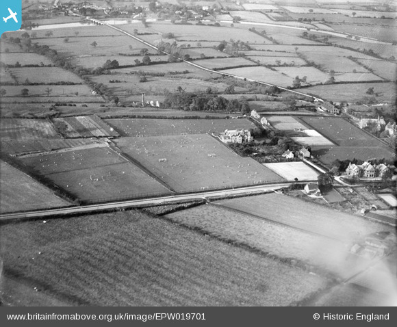
EPW019701 ENGLAND (1927). Repton School Playing Fields, Repton, 1927
© Copyright OpenStreetMap contributors and licensed by the OpenStreetMap Foundation. 2026. Cartography is licensed as CC BY-SA.
Nearby Images (5)
EPW019701

EPW019704

EPW019705

EPW019707

EPW019703

Details
| Title | [EPW019701] Repton School Playing Fields, Repton, 1927 |
| Reference | EPW019701 |
| Date | October-1927 |
| Link | |
| Place name | REPTON |
| Parish | REPTON |
| District | |
| Country | ENGLAND |
| Easting / Northing | 429917, 326853 |
| Longitude / Latitude | -1.5558282621765, 52.83803223533 |
| National Grid Reference | SK299269 |
Pins

Ian Kitching |
Monday 25th of June 2012 01:02:11 PM |