
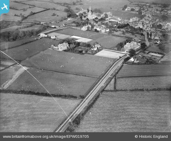
EPW019705 ENGLAND (1927). Repton School Playing Fields, Repton, 1927
© Copyright OpenStreetMap contributors and licensed by the OpenStreetMap Foundation. 2026. Cartography is licensed as CC BY-SA.
Nearby Images (4)
EPW019705

EPW019701

EPW019704

EPW019707

Details
| Title | [EPW019705] Repton School Playing Fields, Repton, 1927 |
| Reference | EPW019705 |
| Date | October-1927 |
| Link | |
| Place name | REPTON |
| Parish | REPTON |
| District | |
| Country | ENGLAND |
| Easting / Northing | 429936, 326785 |
| Longitude / Latitude | -1.5555524232016, 52.837419846566 |
| National Grid Reference | SK299268 |
Pins
Be the first to add a comment to this image!