
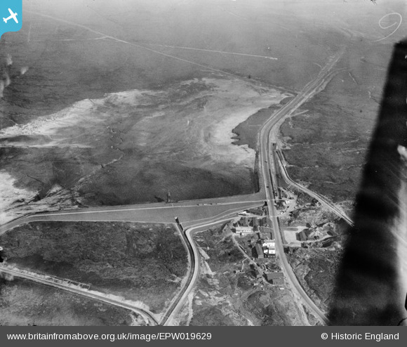
EPW019629 ENGLAND (1927). Blackstone Edge Reservoir, Littleborough, 1927
© Copyright OpenStreetMap contributors and licensed by the OpenStreetMap Foundation. 2025. Cartography is licensed as CC BY-SA.
Nearby Images (7)
EPW019629

EPW019618

EPW019624

EPW019614

EPW019401

EPW019397

EPW019399

Details
| Title | [EPW019629] Blackstone Edge Reservoir, Littleborough, 1927 |
| Reference | EPW019629 |
| Date | 14-October-1927 |
| Link | |
| Place name | LITTLEBOROUGH |
| Parish | |
| District | |
| Country | ENGLAND |
| Easting / Northing | 397034, 418062 |
| Longitude / Latitude | -2.0448863452846, 53.658809104062 |
| National Grid Reference | SD970181 |
Pins

pete |
Sunday 26th of January 2014 09:10:40 PM |